


EPAGNY & PROMERY & MANDALLAZ N°2

Jean-Paulchoux
User
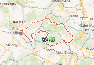

Length
20 km

Max alt
896 m

Uphill gradient
703 m
Km-Effort
29 km

Min alt
481 m

Downhill gradient
706 m
Boucle
Yes
Creation date :
2020-05-24 05:50:20.683
Updated on :
2020-05-25 19:51:49.83
5h58
Difficulty : Medium

FREE GPS app for hiking
 SityTrail
IGN / Geographical institutes
SityTrail Plus
The world is yours!
About
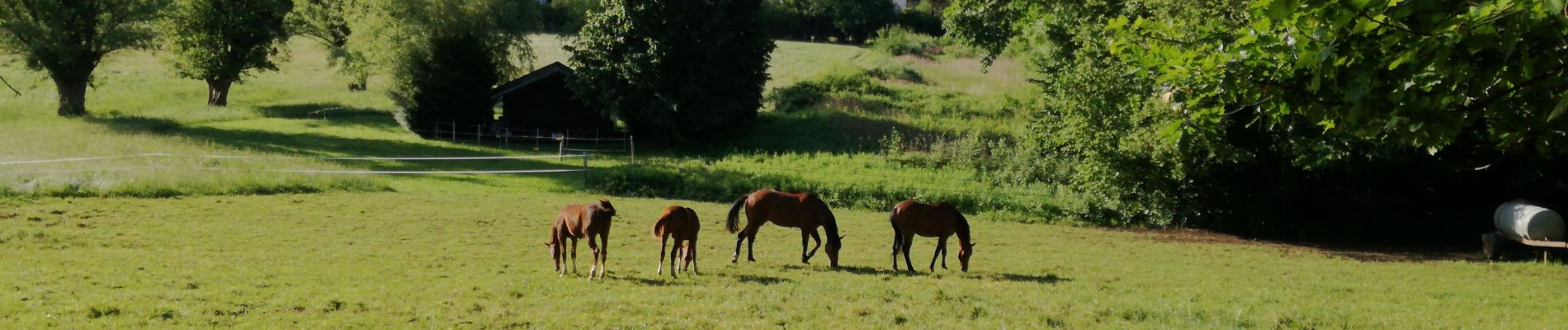
Trail Walking of 20 km to be discovered at Auvergne-Rhône-Alpes, Upper Savoy, Épagny Metz-Tessy. This trail is proposed by Jean-Paulchoux.
Photos


Positioning
Country:
France
Region :
Auvergne-Rhône-Alpes
Department/Province :
Upper Savoy
Municipality :
Épagny Metz-Tessy
Location:
Unknown
Start:(Dec)
Start:(UTM)
274043 ; 5092290 (32T) N.
Comments